
Mining
Exploring the depths through a skyward vision
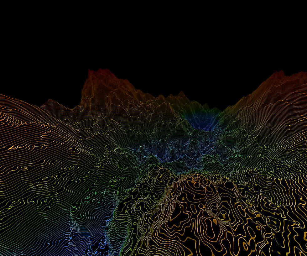
From above, every curve, slope, and hidden layer beneath the surface is revealed. Fototerra transforms the land into a visual narrative — guiding decisions that balance production, safety, and respect for the Earth, turning mining into an art of precision and responsibility.
Monitoring pits and critical structures
Using LiDAR surveys, digital orthophotography, and 3D terrain modeling combined with geotechnical data, Fototerra delivers detailed information on slope stability, volumetric analysis, and tailings dam safety.
Efficiency and sustainability in the mining sector
Fototerra’s solutions support every stage of the mining cycle — from environmental licensing to mine closure — integrating spatial data that help reduce risks, optimize operations, and promote responsible mining.


Reliability for large-scale projects
Our extensive experience across diverse Brazilian regions ensures robust, trustworthy results, establishing Fototerra as an essential partner to the mineral industry.